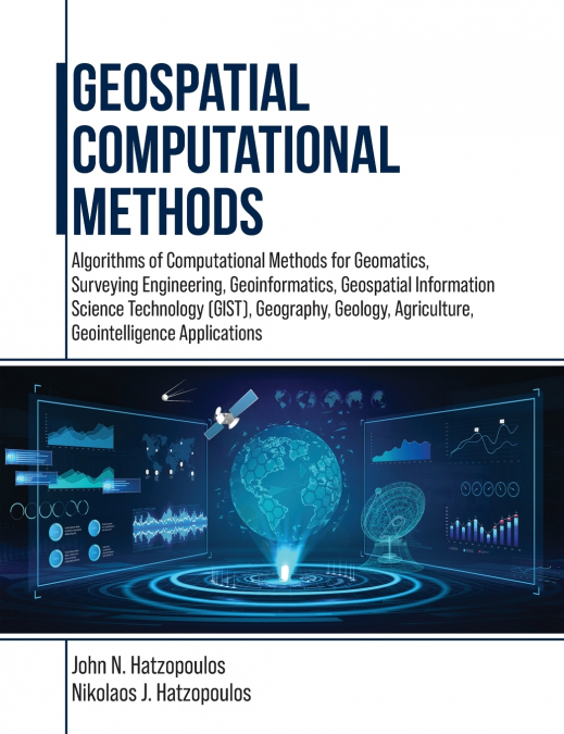
Geospatial Computational Methods

Geospatial Computational Methods

John N. Hatzopoulos / Nikolaos J. Hatzopoulos

136,80 €
IVA incluido
Disponible
Editorial:
Universal-Publishers.com
Año de edición:
2024
ISBN:
9781599426440
136,80 €
IVA incluido
Disponible

Selecciona una librería:

  • Librería Perelló (Valencia)
  • Librería Aciertas (Toledo)
  • El AlmaZen del Alquimista (Sevilla)
  • Librería Elías (Asturias)
  • Librería Kolima (Madrid)
  • Donde los libros
  • Librería Proteo (Málaga)

This book is for students and professionals involved in Geospatial Computations and related areas such as Geomatics, Surveying Engineering, Geoinformatics, Geospatial Information Science and Technology (GIS&T), Geography, Geology, Agriculture, and Geointelligence. More emphasis is given to using scientific methods and tools materialized in algorithms and software to produce practical results. Specifically, algorithms such as error analysis of measurements and the least squares adjustment method to obtain ground coordinates of points with their reliability to construct the geometric framework of the geographical space necessary for various geospatial applications such as a Geographic Information System (GIS) are discussed. Other algorithms involve interpolation methods for DEM and spatial data analysis. Furthermore, such algorithms in the geospatial area are basic surveying methods using a total station, photogrammetry, digital terrain modeling, GNSS, augmented reality, coordinate transformations, map projections, and interpolation. Most algorithms are implemented into 27 educational computer programs and necessary data to understand GIS&T operations from the inside with a didactics approach targeting to become more intelligent than machines. The educational programs include general photogrammetric operations with aerial photography and drones, 3-D surveying network adjustment, GNSS navigation solutions, and many others. This approach helps to obtain high-quality scientific and technological bases, which in turn enhance the ability to exploit and use most tools and functions of existing GIS&T systems and, therefore, to be highly competitive as a professional in the market. This book has ten chapters such as Measurements and Errors Estimation and Accuracy Standards, Specialized Numerical Methods, Error Propagation & Least Squares Adjustment, Condition Method and Generalized Least Squares, Applications to Map Projections and Transformation of Coordinates, Applications to Surveying Networks, Applications of Computational Methods in Photogrammetry, Digital Elevation Models (DEM), Computer Programming--Scripting & AI.

Artículos relacionados

  • Recent Advances in Remote Sensing for Crop Growth Monitoring
    Tao Cheng
    This special issue book gathers sixteen papers focusing on the application of remote sensing techniques to crop growth monitoring. The studies feature multi-scale and multi-source remotely sensed data, a combination of empirical and physical approaches, and a range of topics on crop growth parameters estimation and crop mapping. It is recommended to graduate students, professor...
    Disponible

    98,94 €

  • Ethics, Machine Learning, and Python in Geospatial Analysis
    In geospatial analysis, navigating the complexities of data interpretation and analysis presents a formidable challenge. Traditional methods often need to efficiently handle vast volumes of geospatial data while providing insightful and actionable results. Scholars and practitioners grapple with manual or rule-based approaches, hindering progress in understanding and addressing...
    Disponible

    334,36 €

  • Ethics, Machine Learning, and Python in Geospatial Analysis
    In geospatial analysis, navigating the complexities of data interpretation and analysis presents a formidable challenge. Traditional methods often need to efficiently handle vast volumes of geospatial data while providing insightful and actionable results. Scholars and practitioners grapple with manual or rule-based approaches, hindering progress in understanding and addressing...
    Disponible

    255,43 €

  • Applications of Remote Sensing
    Sayed Hemeda
    This book focuses on new perspectives and advanced theoretical and application research in remote sensing. It is concerned with the study of scientific problems of remote sensing and geodesy and related interdisciplinary sciences. It discusses some contemporary issues related to geodesy in engineering projects, which are critical components in civil construction and often requi...
    Disponible

    154,52 €

  • Remote Sensing and Geographic Information Systems
    Azhar ul Haque Sario
    'Remote Sensing and Geographic Information Systems: 2024' is a comprehensive and forward-looking guide that delves into the evolving world of geographic information systems (GIS) and remote sensing technologies as they stand in the year 2024. This book serves as a critical resource for anyone interested in understanding how the integration of cutting-edge technologies like clou...
  • Revolutionizing Earth Observation - New Technologies and Insights
    Rifaat M. Abdalla
    Revolutionizing Earth Observation - New Technologies and Insights explores the cutting-edge advancements transforming the field of Earth observation. This essential resource investigates the latest innovations, from next-generation satellites and sensors to unmanned aerial vehicles (UAVs) and artificial intelligence (AI). These technologies offer unprecedented detail and precis...
    Disponible

    159,12 €