 Librería Perelló (Valencia)
 Librería Aciertas (Toledo)
 Librería Elías (Asturias)
 Donde los libros
 El AlmaZen del Alquimista (Sevilla)
 Librería Kolima (Madrid)
 Librería Proteo (Málaga)
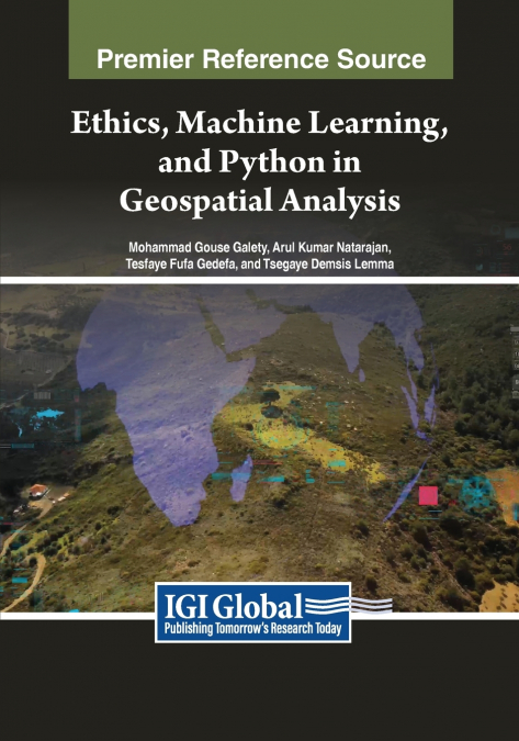
In geospatial analysis, navigating the complexities of data interpretation and analysis presents a formidable challenge. Traditional methods often need to efficiently handle vast volumes of geospatial data while providing insightful and actionable results. Scholars and practitioners grapple with manual or rule-based approaches, hindering progress in understanding and addressing pressing issues such as climate change, urbanization, and resource management. Ethics, Machine Learning, and Python in Geospatial Analysis offers a solution to the challenges faced by leveraging the extensive library support and user-friendly interface of Python and machine learning. The book’s meticulously crafted chapters guide readers through the intricacies of Python programming and its application in geospatial analysis, from fundamental concepts to advanced techniques.